Tuesday, September 15, 2015

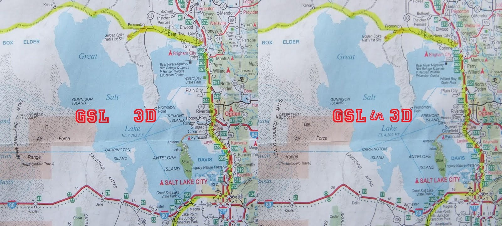
Great Salt Lake in 3d Part 7 Lakeside

The drive to Lakeside began before 5:00 AM. I wasn't sure how long it would take since much of the drive would be on dirt roads, and I wanted to be there to photograph the sunrise.

With an hour or so before sunrise, we took exit 62 off of Interstate 80 and found, not a dirt road, but one of the smoothest and best maintained roads I have ever driven... and there was no one else there. Apparently, this area wasn't a popular destination for Labor Day weekend travelers.

The moon didn't offer any assistance as the nicely groomed road continued north for almost 20 miles. The darkness made it somewhat difficult to navigate. 

Suddenly, the road came to an abrupt end and we found ourselves under bright lights at the gate of a top secret military installation. We examined the map and discovered that we had failed to make a right turn a couple of miles back. We turned the car around and backtracked without incident. 

The rest of the drive took place on a well maintained dirt road and we arrived in time to make our way out onto the causeway that crosses the Great Salt Lake before the sun painted the sky... and everything else.


3D shot of Transcontinental RR Great Salt Lake Causeway looking East from Lakeside moments before sunrise. 
Sun rising over the Promontory Mountains looking East from Lakeside Station on the Transcontinental RR causeway.

3D - On the Transcontinental RR Great Salt Lake Causeway at Lakeside Station looking West

3D - Lakeside Station

Lakeside Station
Not much happens at Lakeside Station except for the occasional passing train, and the numerous birds who thrive in this harsh environment.
A Union pacific train heading East across the Great Salt Lake Causeway.

Looking Northwest toward the Hogup Mountains
John Williams Gunnison was second in command of Howard Stansbury's surveyor expedition that began mapping this region in 1849. Gunnison, and his team of surveyors were massacred by a band of Indians in 1853. Gunnison Island, one of the loneliest Islands on the Great Salt Lake, bears his name.
Looking North - Gunnison Island..


3D - Salt

3D - receding lake has left behind eroded barricades.

After leaving the causeway, we headed up to the top of Lakeside Butte, (about 450' above the Great Salt Lake level), for a great view of the region. 


Causeway crossing the Great Salt Lake looking East

In 1904, the Lucin cutoff shaved off 44 miles from the old Historic Transcontinental RR route around the Great Salt Lake. The causeway across the Great Salt Lake has physically divided the  lake and has drastically changed the saline levels of each side. The north part of the lake is now much more saline and the algae gives the water a reddish hue.


Transcontinental RR looking West toward Lucin, UT - about 160 miles away. 

3D - sign at the UTTR, (Utah Training and Test Range), on the Puddle Valley Highway on the way to Lakeside, UT. A Declared Public Right of Way even though the "ROAD CLOSED" signs would make you think otherwise.


Sunday, September 13, 2015

JFK International in 3D


Due to a cancelled flight, my son and I had the opportunity to spend the night at JFK International Airport. Knowing that we'd be there for at least seventeen hours, we quickly located chairs within close proximity to electrical outlets. The batteries on both of our phones and cameras were critically low so it was crucial to charge up for the long night ahead. We soon discovered that we had the only two outlets in the entire area that was occupied by hundreds of other displaced travelers, like ourselves. 

What do you do when you're trapped in an airport?

Here we were in New York City, and we were trapped at the airport with nothing to do. I knew that the architecture of the airport would make for some pretty awesome 3D photos, so with a fully charged battery, I set out in search of depth, perspective and intrigue.  

Other than a couple of official personnel, the baggage claim area in the basement was desolate. 


I escalated myself upstairs to get an overview of the dismayed travelers at the Jet Blue check in area. No one seemed to be having a good time. I was. 
 
I really liked the reflections and different depth perspectives in and through the glass on the balcony. 

The near empty corridors leading to the Air Bus and parking plaza provided a wonderful opportunity for me to take photos.
The sun was low on the western horizon when I stepped outside and climbed the stairs to the top of the parking plaza.


The Air Bus and tracks provided some interesting 3D opportunities too.
Back inside, I discovered other bored travelers who were literally climbing the walls.
The arched architecture of the Air Bus station was beautifully illuminated  by the descending sun.
Outside, planes sat motionless as numerous flights* were cancelled.
The last shot I took was looking down over the Jet Blue check in area. I still had a long night ahead. 

 *Supposedly, a "glitch" in the system resulted in the cancellation of more than thirty flights at JFK and another sixty or so nationally. Suspiciously, not all flights were effected by this "glitch".

Sunday, August 9, 2015

Thursday, August 6, 2015

70 Year Old Little Boy


We've been told that dropping the bomb saved lives and that Japan would have never surrendered had we not used the bomb

The truth is, the Japanese military officials knew their defeat was at-hand and hoped to negotiate a conditional surrender to prevent more of their cities from being firebombed.* Meanwhile, Washington imposed deliberately difficult unconditional terms to perpetuate the war long enough to test the newest weapons** in the arsenal.  A new extensive and expensive secret industry had been created to build these bombs and officials wanted to use them in a real war scenario to test their effectiveness. 

A handful of virgin  targets were off-bounds to firebomb raids and designated as primary and secondary atomic bomb targets. On August 6, 1945, Hiroshima was the primary. The skies were clear, and it was a perfect day to roll out the previously untested uranium gun weapon nicknamed, Little Boy.


After the new technology*** had been demonstrated, the Japanese conditional terms of surrender were met and credit was given to the bomb for bringing the war to a swift end. 

* The firebombing raids on major Japanese cities resulted in the deaths of hundreds of thousands of Japanese citizens and wide-spread destruction, equivalent to atomic weapons damage. But the a-bomb only required one aeroplane to inflict the same amount of damage that it took hundreds of B-29 fire-bombers to accomplish.

** A long skinny uranium gun weapon nicknamed Little Boy and a bulbous beast of a bomb appropriately named Fat Man. The former, was detonated a thousand feet above the city of Hiroshima, and produced a 13.5 kiloton blast that destroyed that city. Fat Man, a plutonium implosion device, produced a 17 kiloton blast over Nagasaki three days later. 

*** There were other options on the table that would have spared cities and civilian lives. It had been proposed that we simply invite Japanese officials to witness a demonstration of the awesome destructive power of the bomb. Unfortunately, the desire for real battlefield blast data outweighed the lives of hundreds of thousands of civilians.