The Great Salt Lake can be explored by driving, riding, hiking and boating but the best way to experience the dynamics of the lake may be from above.
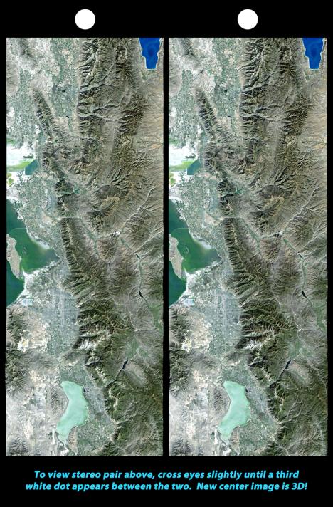
The above 3d photo of the Great Salt Lake area is provided by NASA's Jet Propulsion Laboratory, (courtesy of US tax dollars).
Looking west, the above photo depicts the southern most tips of Antelope Island and Stansbury Island; two of the largest islands on the Great Salt Lake. In the foreground is the swampland that is located to the east of Antelope Island. Stansbury Island can be seen in the background at the top of the photo.
The colorful swampland of the Great Salt Lake is amazingly beautiful and can be best appreciated from above.
Above - the southernmost shore of the Great Salt Lake. US Interstate 80, a major corridor for east-west interstate transit is traveled by millions of people every year. Tooele Valley is shown nestled at the base of the Oquirrh Mountains.
Rio Tinto's 12,000 foot tall smoke stack is an easy landmark to spot from the ground and from the air. The Great Salt Lake Marina is also visible in this photo, as is US Interstate 80 and Highway 201 at the northernmost point of the Oquirrh Mountains.
Antelope Island State Park is home to a large variety of wildlife including a Bison herd. The island can be accessed by automobile and is enjoyed by thousands of tourists annually.
Google Earth is a new and fun way to explore the Great Salt Lake area. Sometimes images appear distorted, like in this image of the Rio Tinto smoke stack.


No comments:
Post a Comment